Ten Years on the Hume & Hovell Track
A Decade of Partnership, Persistence and Progress
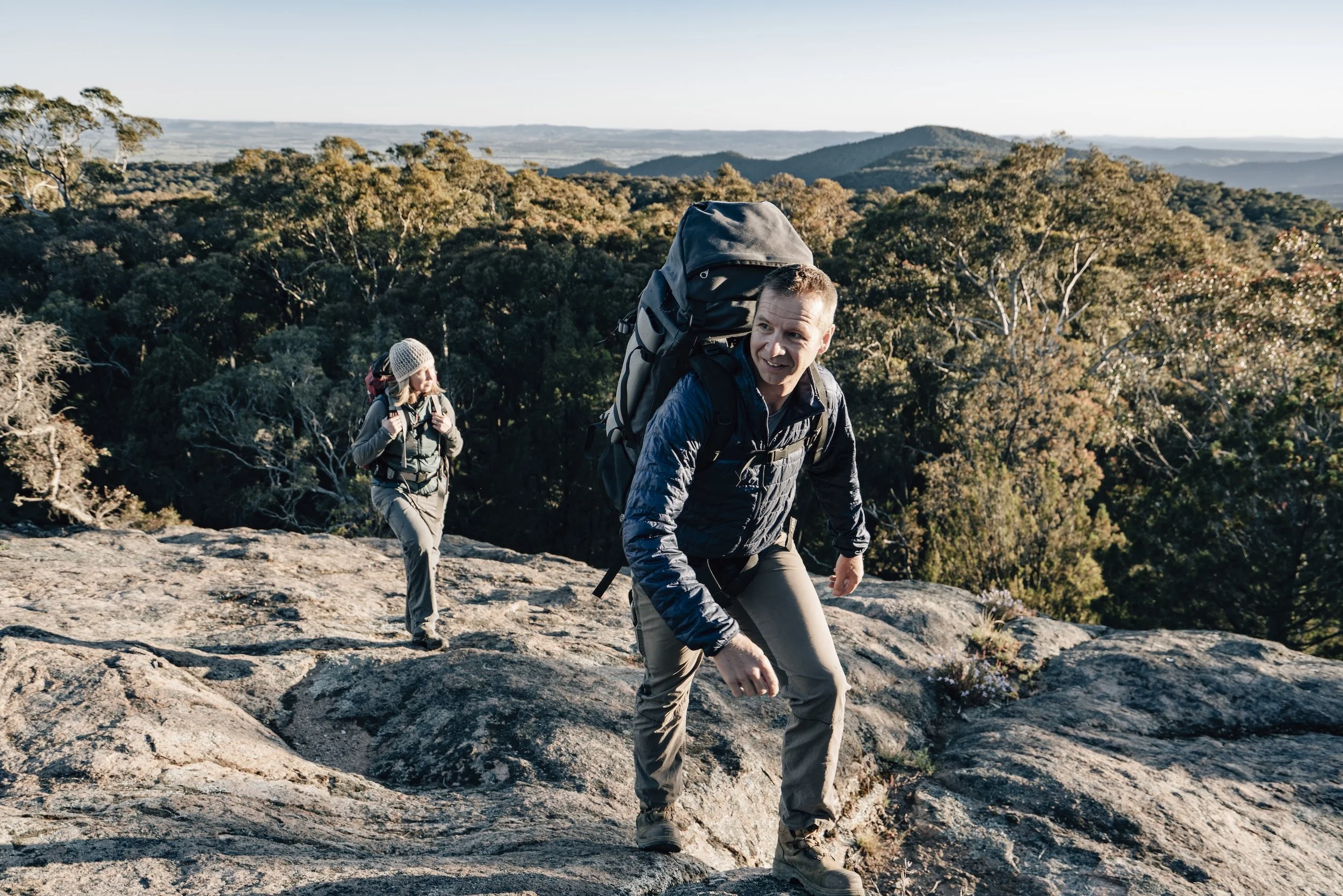
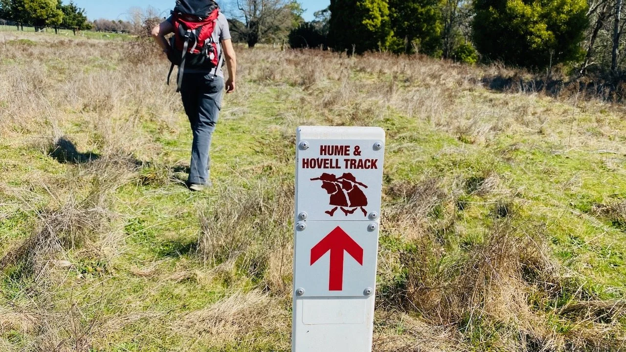
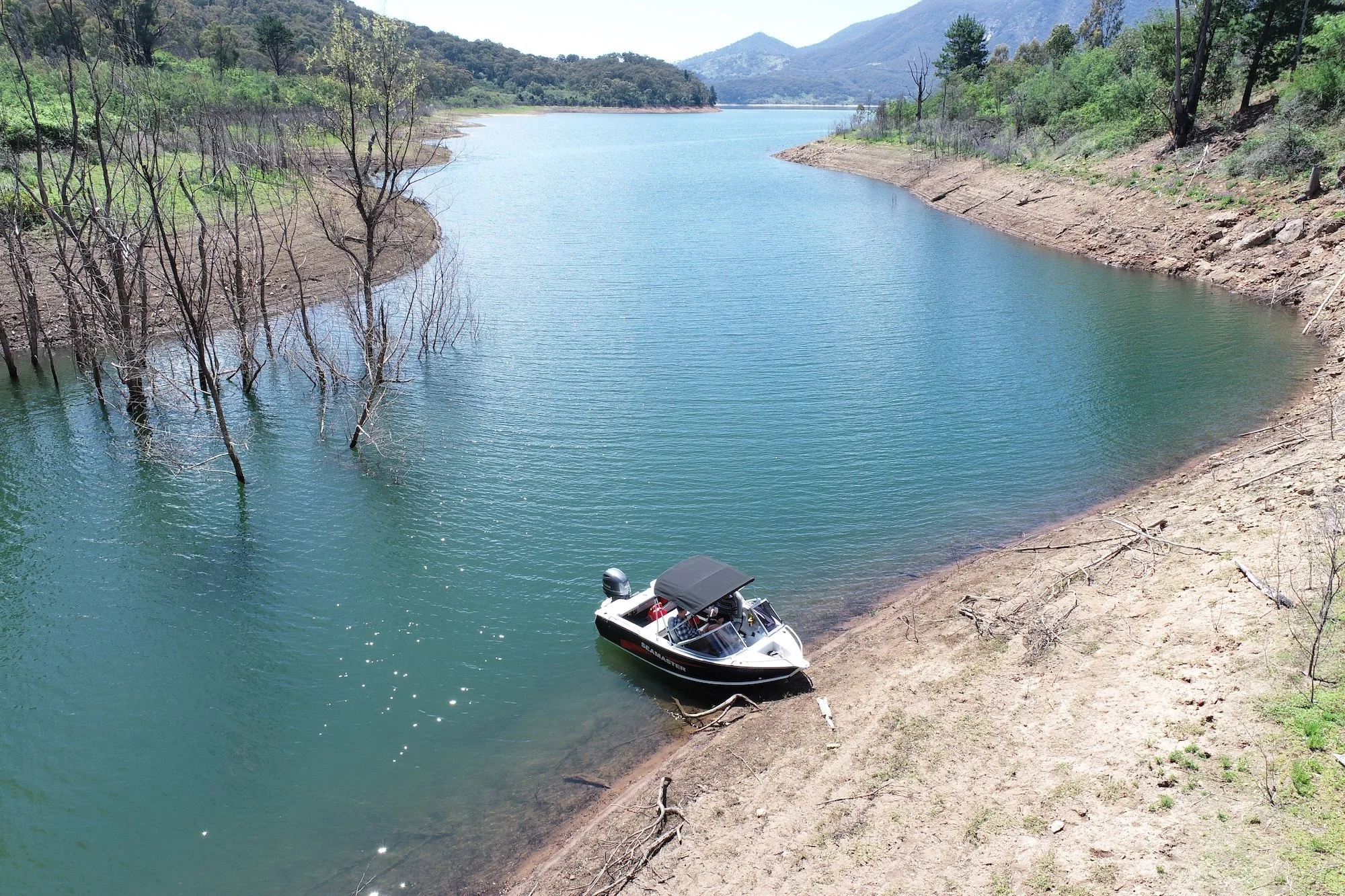
On the Hume and Hovell Track (photo by Matt Beaver)
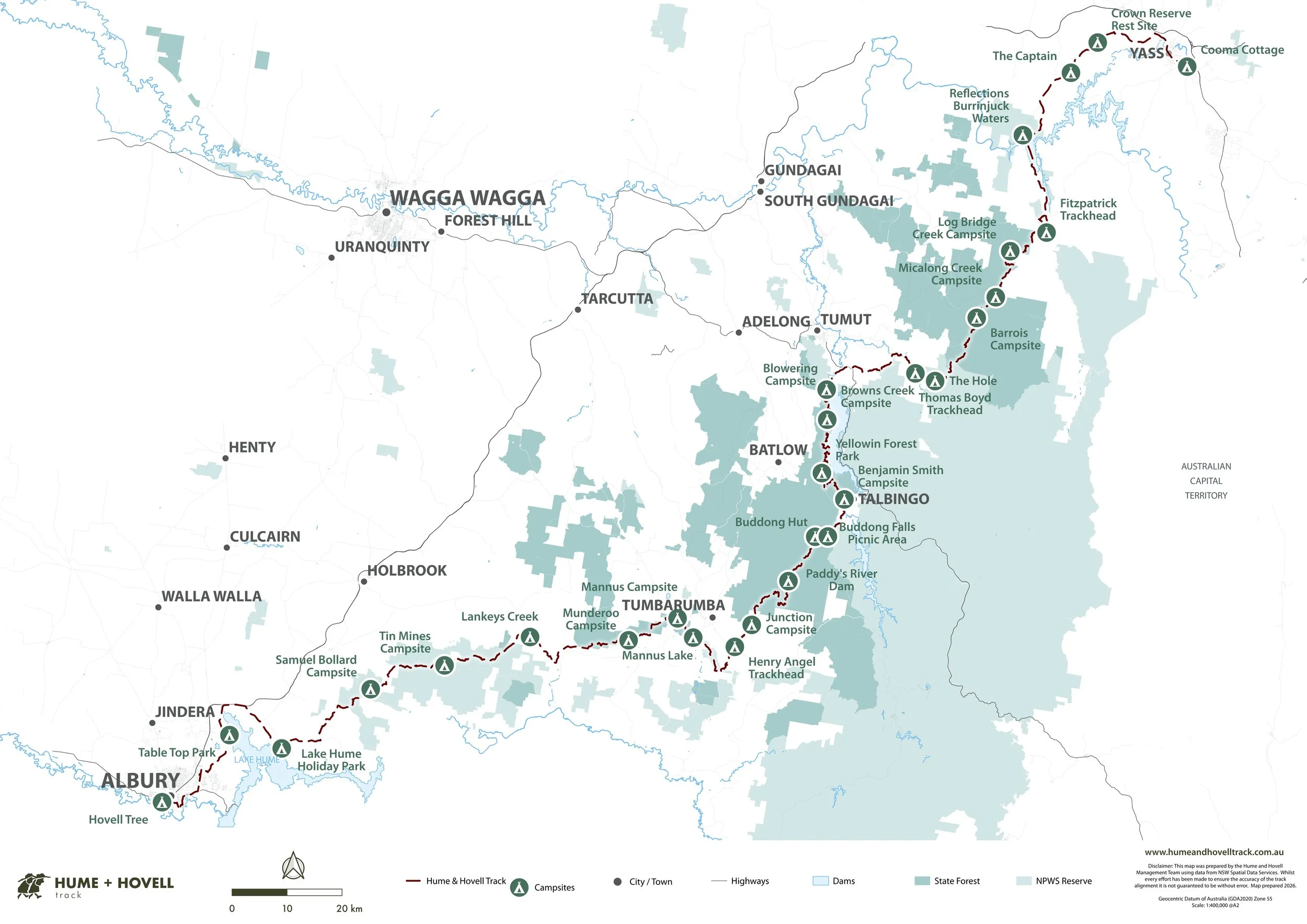
In 2015, we began what would become one of the most rewarding long-term partnerships in 12P Consulting’s history: working alongside Snowy Valleys Council and Crown Lands NSW to support the management and improvement of the 426km Hume and Hovell Track.
Over the past decade, we’ve developed a deep understanding of the Track and the challenges of delivering maintenance and capital upgrades. Maintaining one of south-eastern Australia’s great long-distance walking experiences that spans multiple land tenures and regulatory environments requires meticulous management. It demands careful planning, strong relationships, and detailed local knowledge.
Background of the Hume and Hovell Track
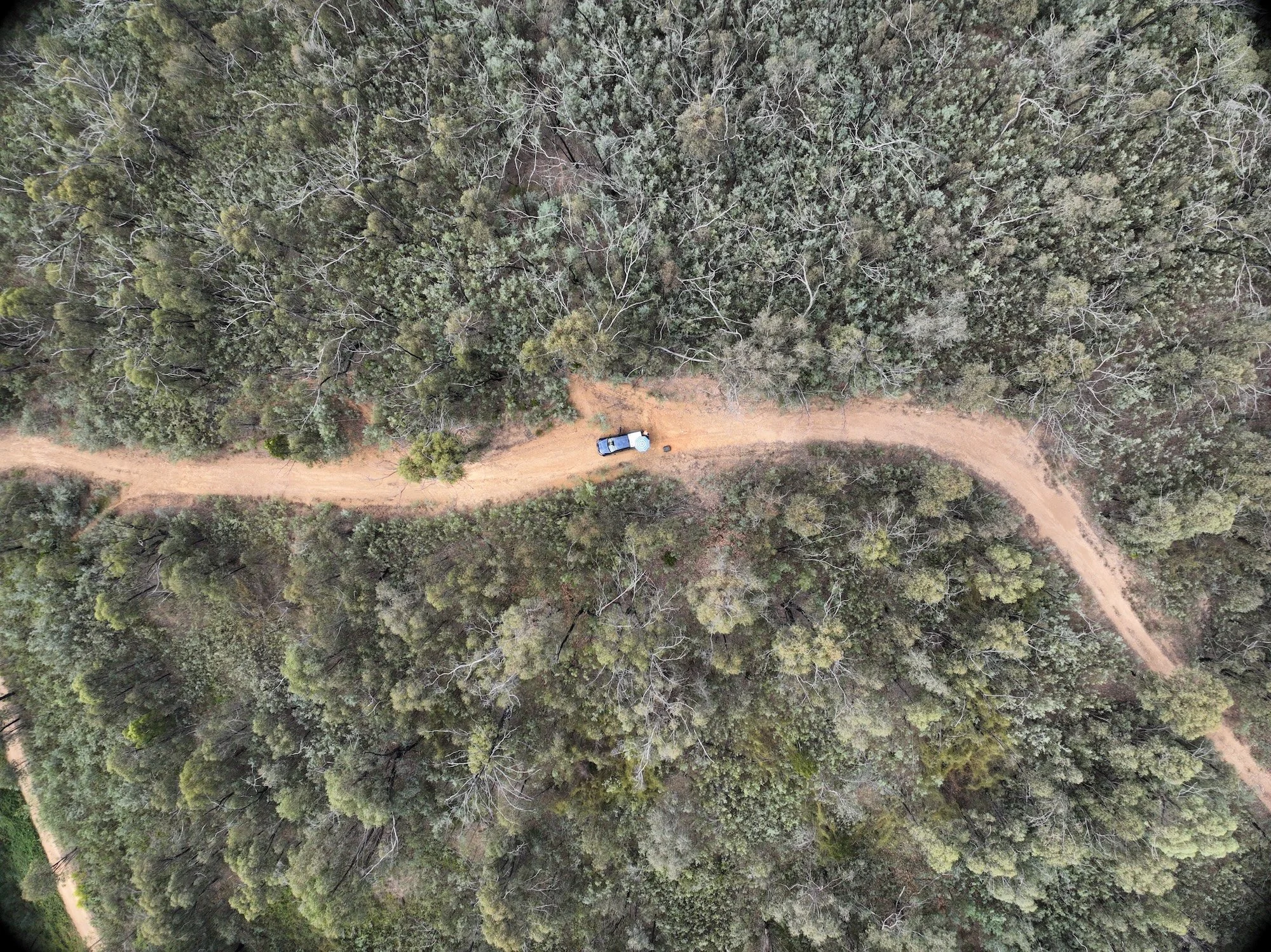
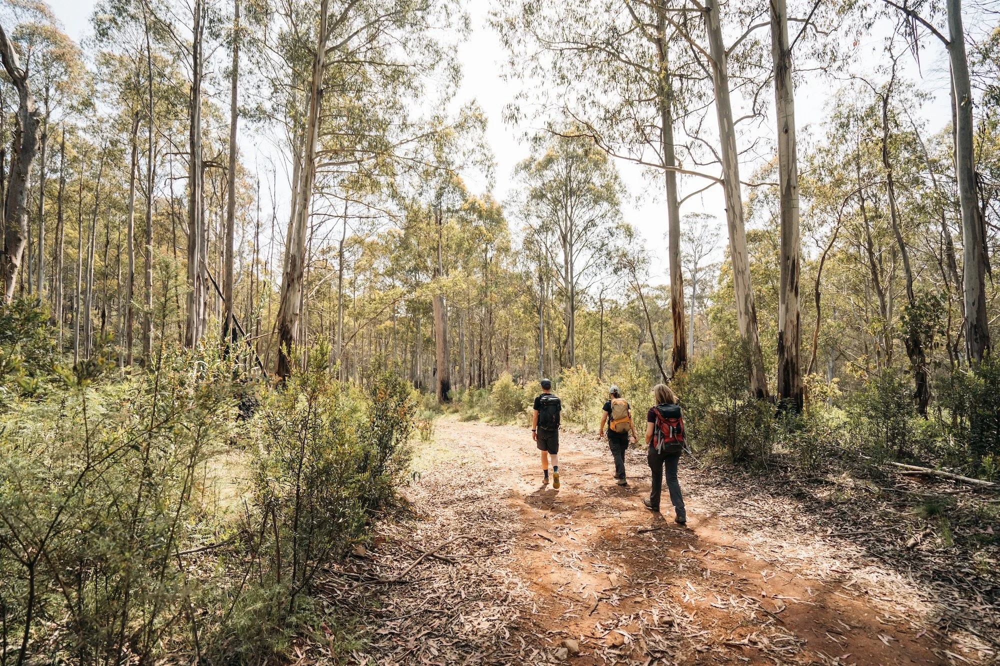
The Hume and Hovell Track commemorates the explorers - Hamilton Hume and William Hovell - who traversed the region in the 1820s. Today, it serves as a popular multi-day walking trail, attracting users from across Australia and internationally. The diverse scenery encompasses national parks, state forests, private land, and public roads, offering a unique blend of historical significance, natural beauty, and outdoor adventure.
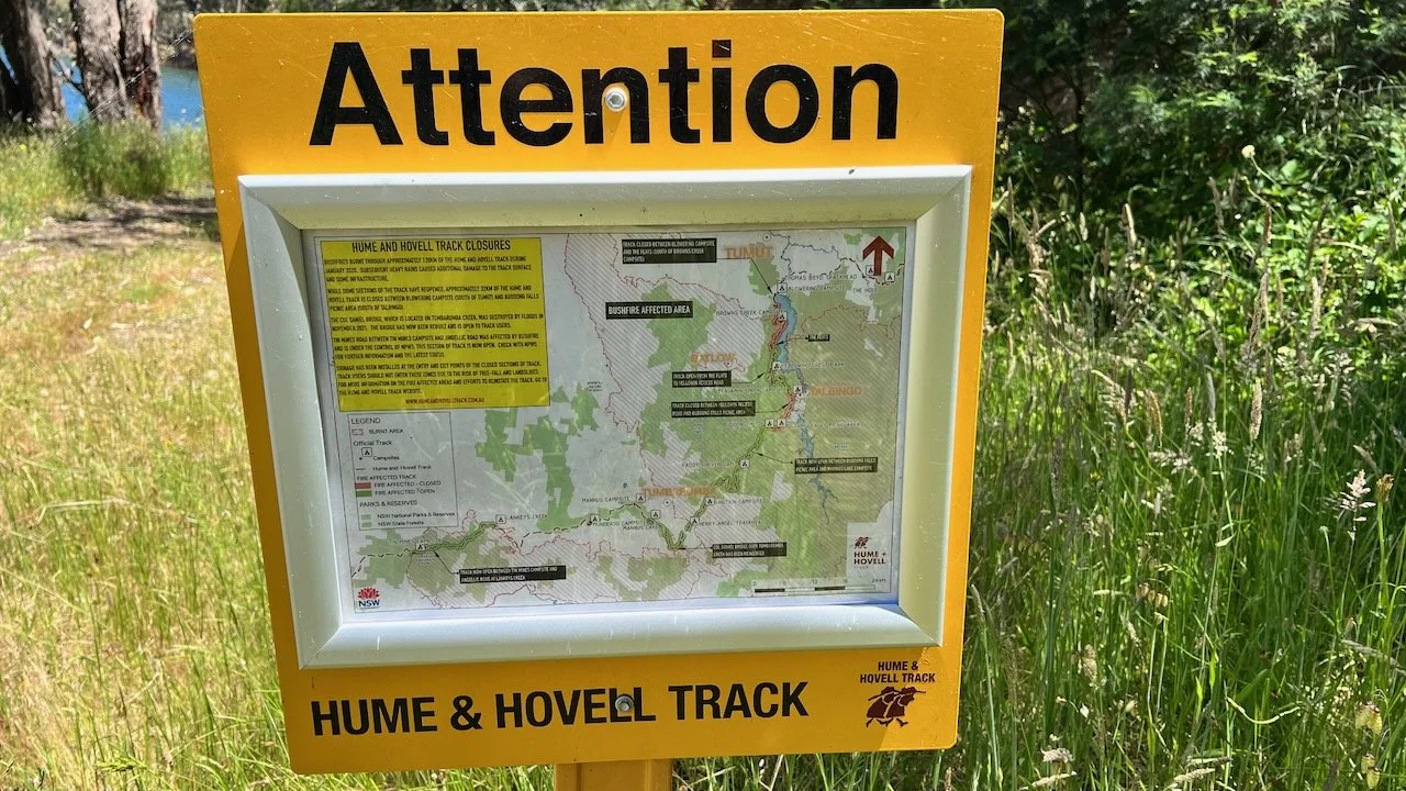
The Track was developed by the NSW Department of Lands and built with the co-operation and assistance of Tumbarumba Shire Council in the early 1980s. Since its opening, the track has been extended from Yass to Albury and maintained with annual funding from Crown Lands.
Ten Years of Transformation
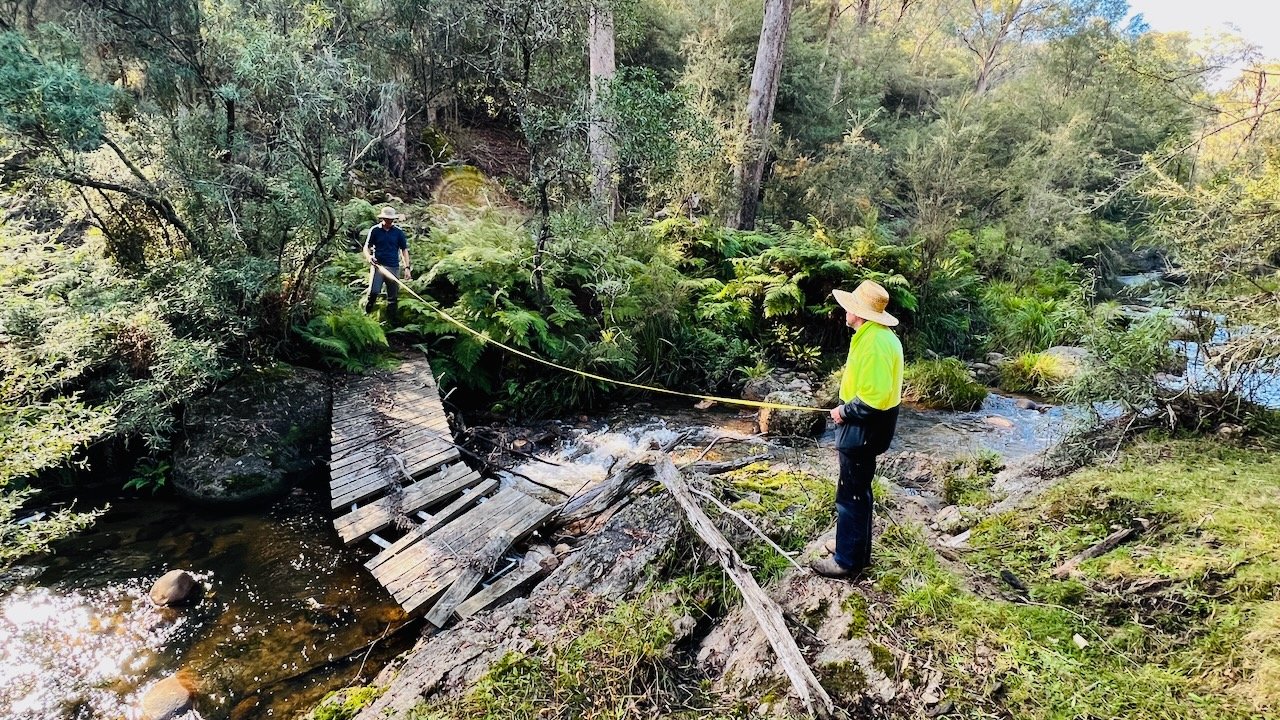
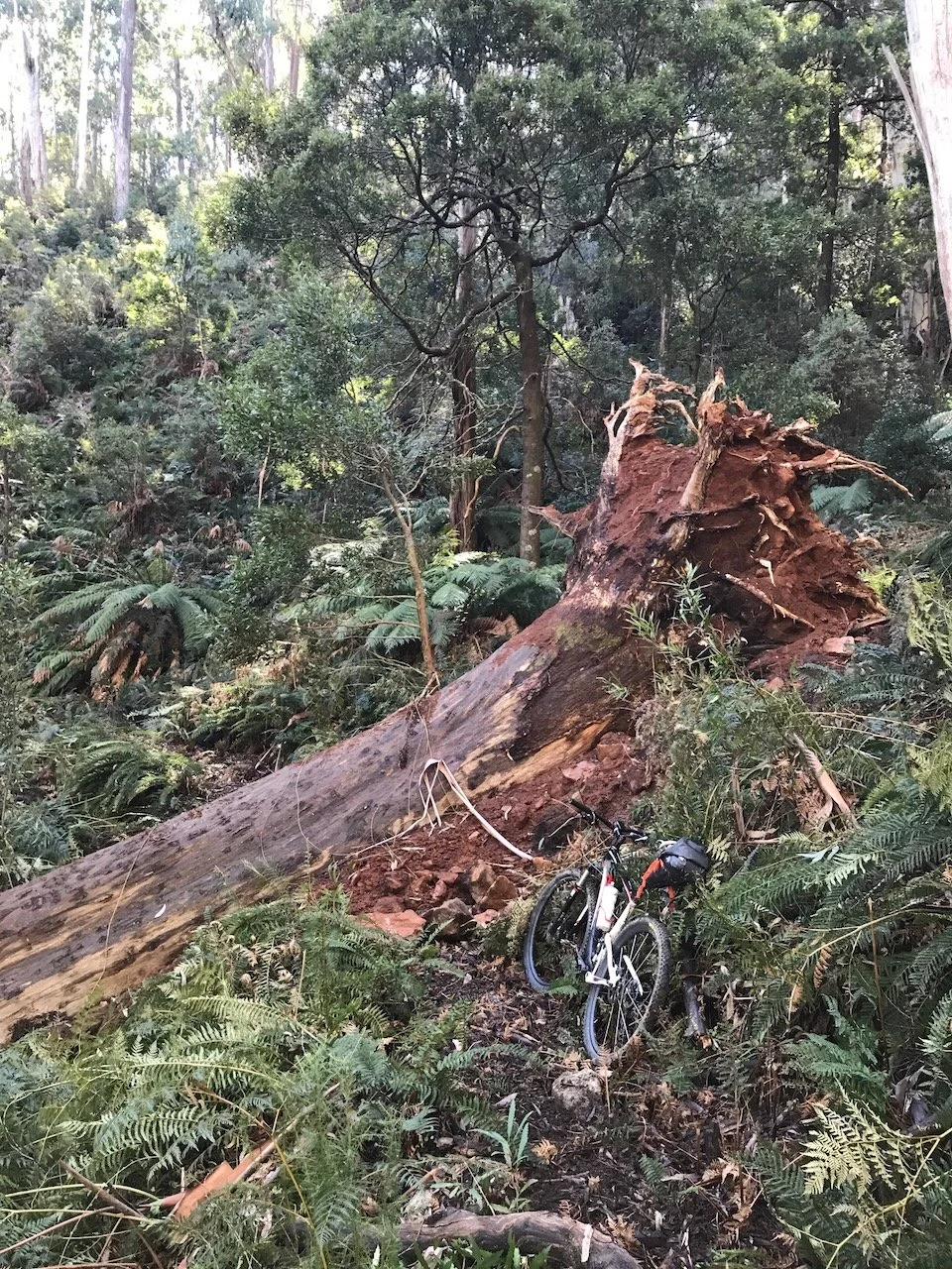
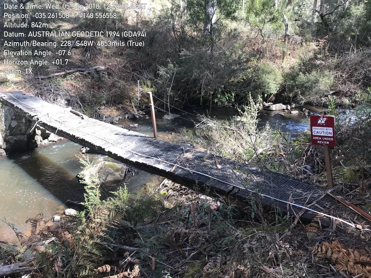
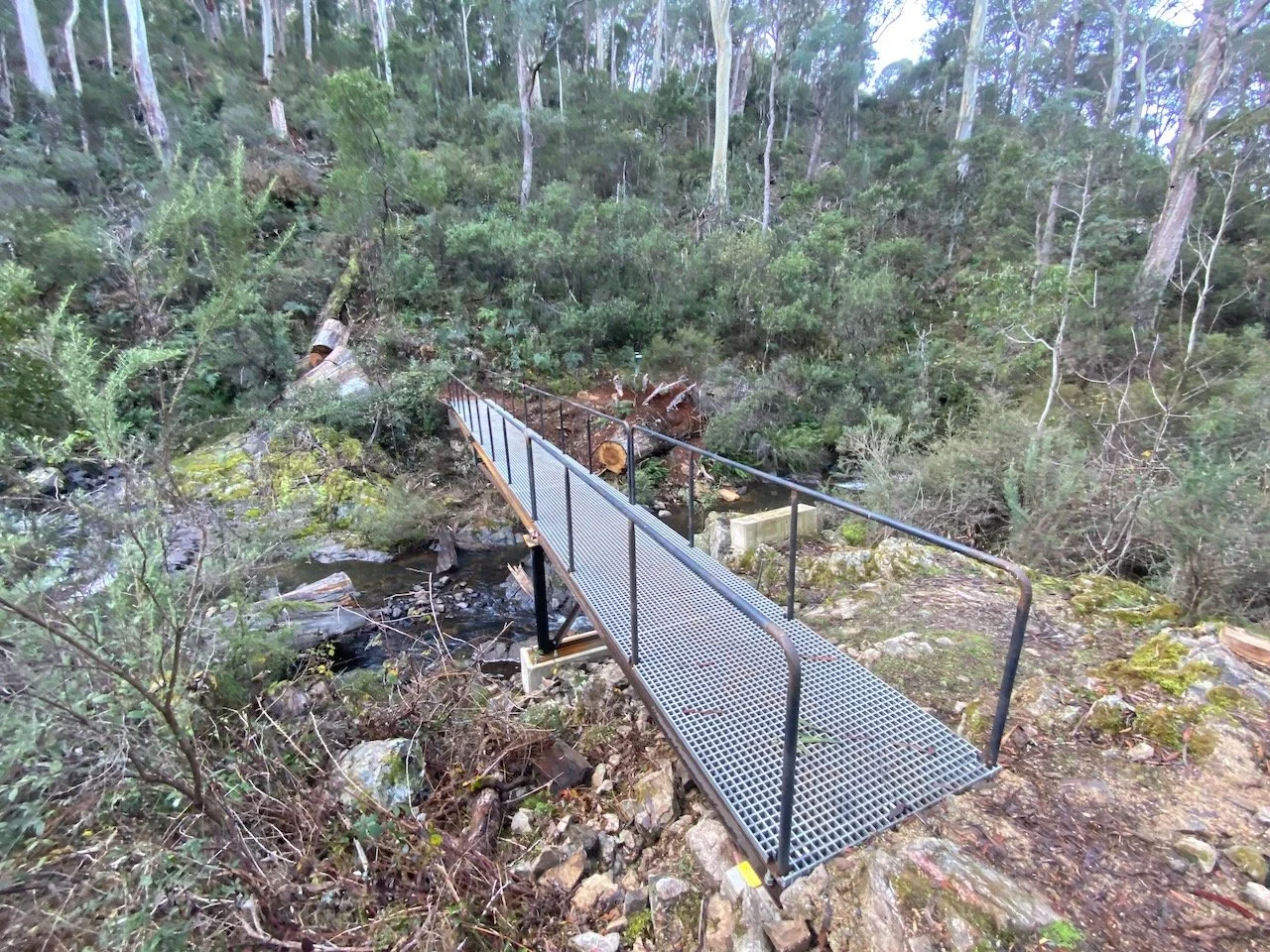
The Hume and Hovell Track includes a range of built assets that require regular inspection and strategic upgrades to preserve its value as an historical and recreational asset.
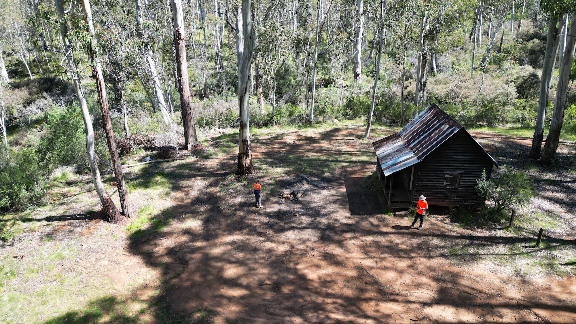
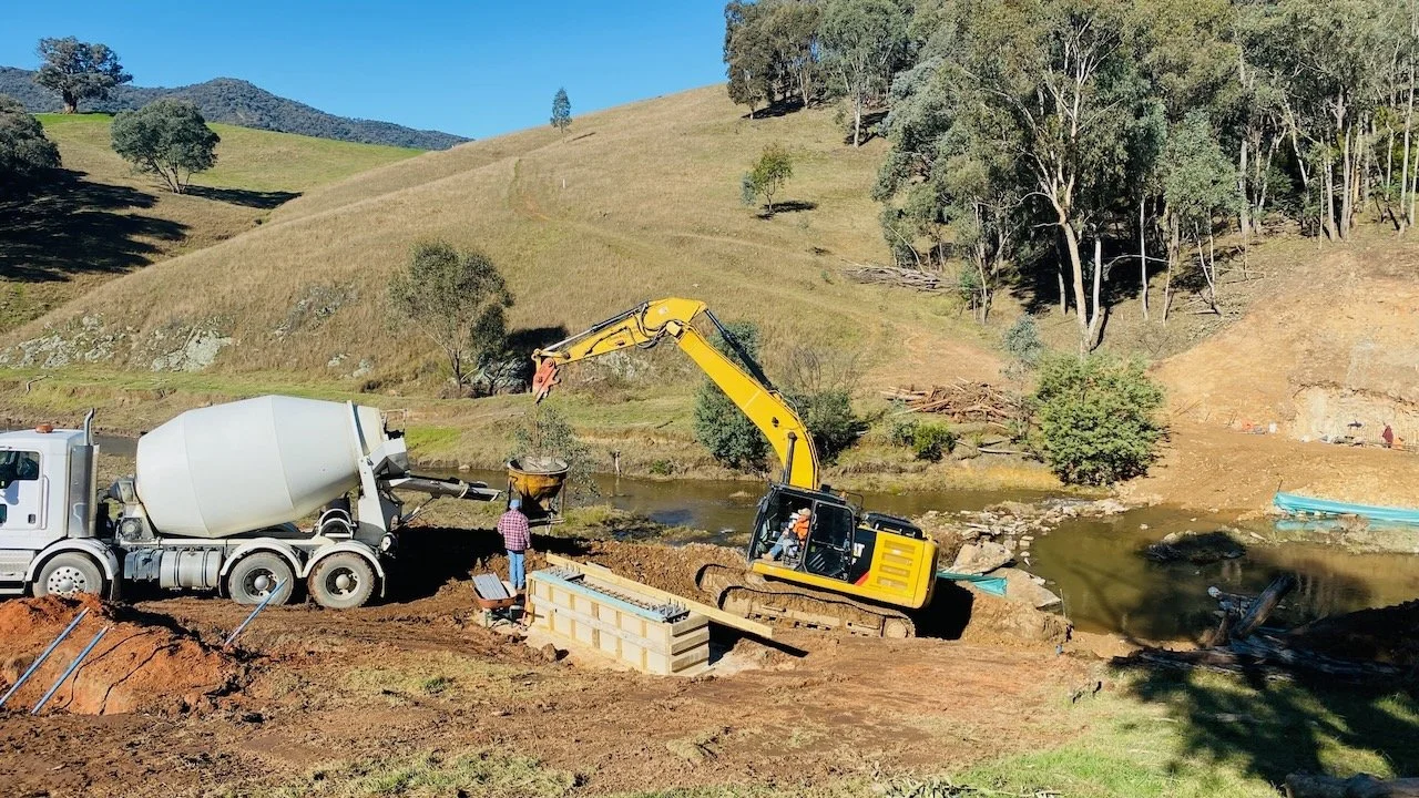
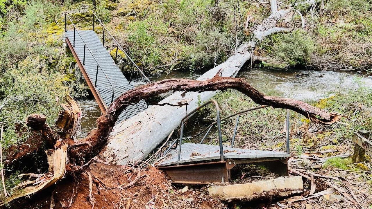
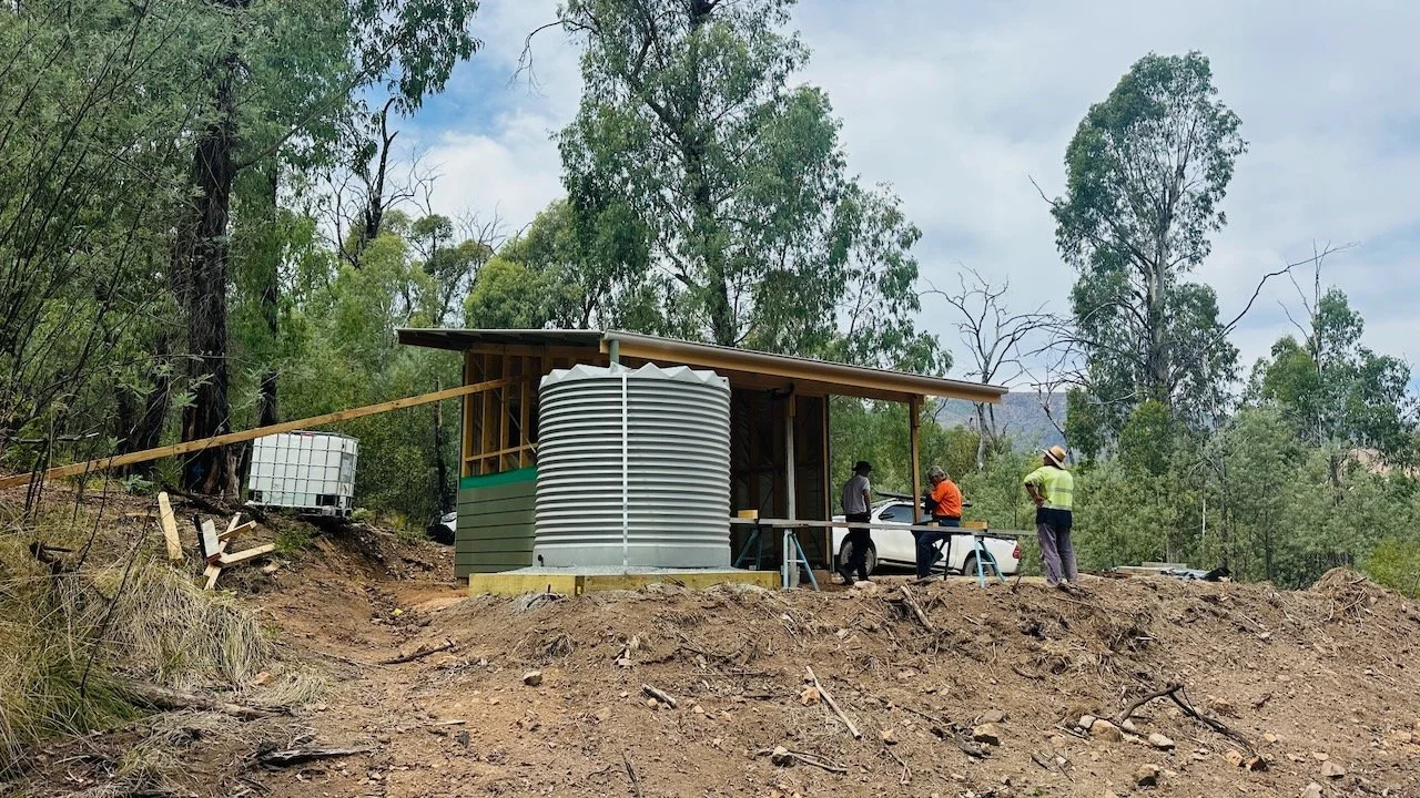
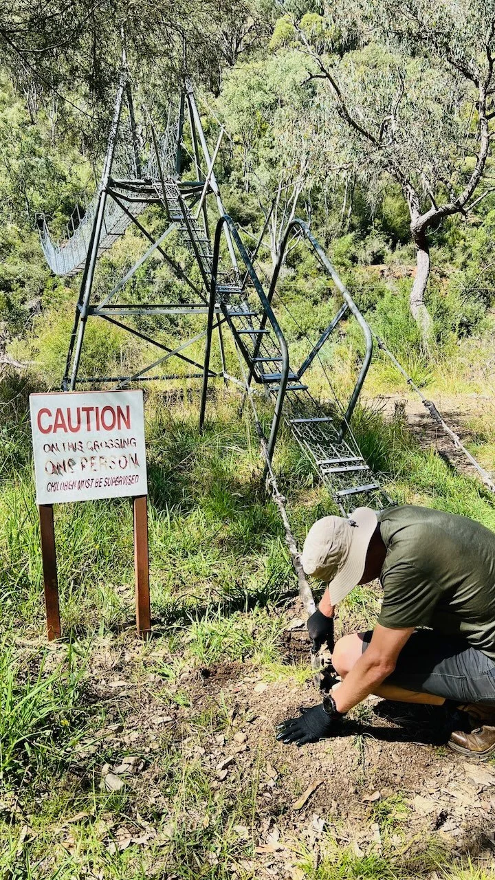
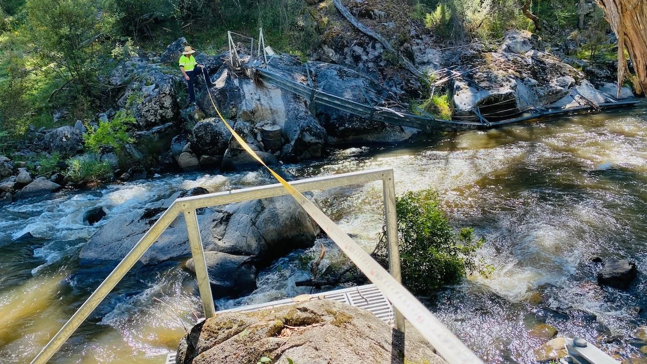
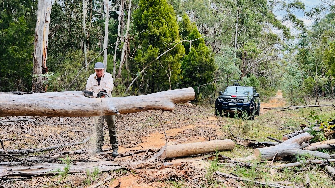
Over the past decade, our team has supported the reconstruction or replacement of more than 120 pedestrian bridges and boardwalk structures, improved way-finding signage, upgraded fence crossings, and overseen the construction of new camping huts.
12P Consulting manages scoping, environmental assessment, approvals and construction for capital projects such as camping huts, bridges and new trail construction. We have delivered feasibility and stakeholder engagement, preparation of REFs (Review of Environmental Factors) management of the approvals process, and overseen the procurement and construction process. We have coordinated with Traditional Owners, regulatory authorities and other land managers to deliver a wide range of projects across the full length of the track.
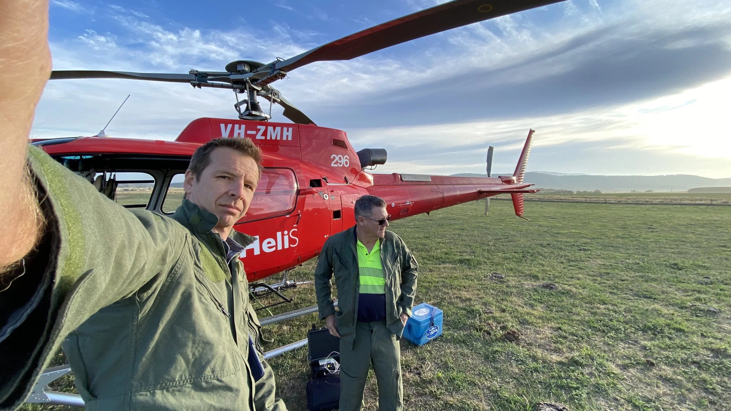
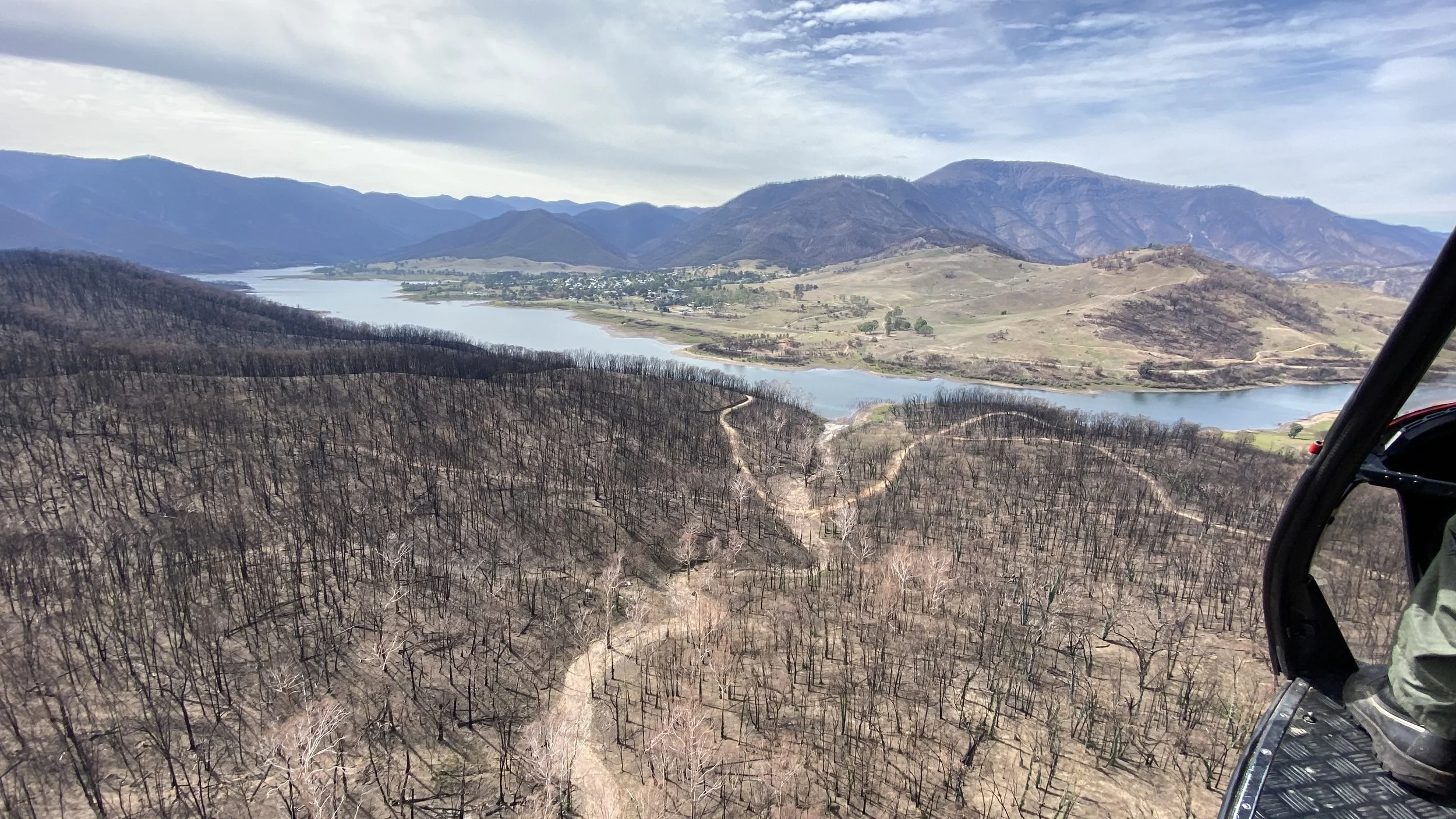
Significant repairs were required after the the devastating bushfires in 2019-2020 that burnt through roughly 25% of the Track and destroyed over 50 timber footbridges and devastated infrastructure at three campsites. See our previous posts on selected post-fire projects, including the Buddong Creek bridge works and Blowering Foreshore mapping. We were directly involved in the auditing of all infrastructure in the fire zone and drove the asset renewal across the fire-affected zone.
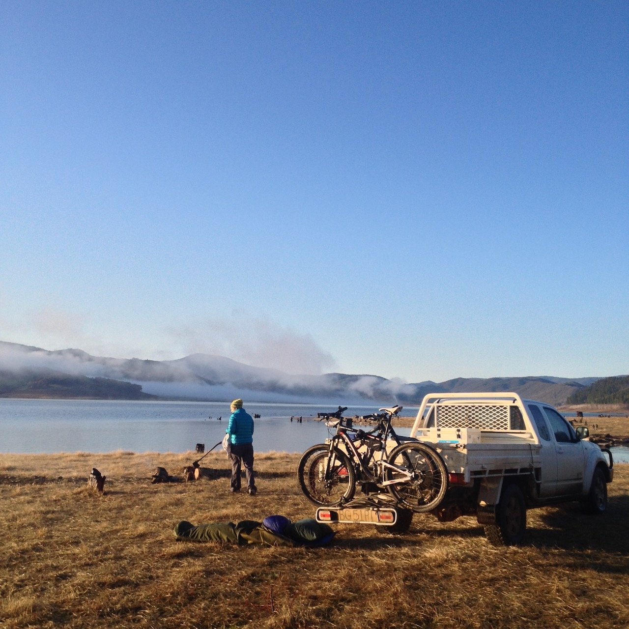
Day-to-Day Asset Management
Large infrastructure projects, such as the Coppabella Creek Suspension Bridge, attract attention, but the success of a long-distance trail is built on consistent day-to-day asset management.
Our role includes:
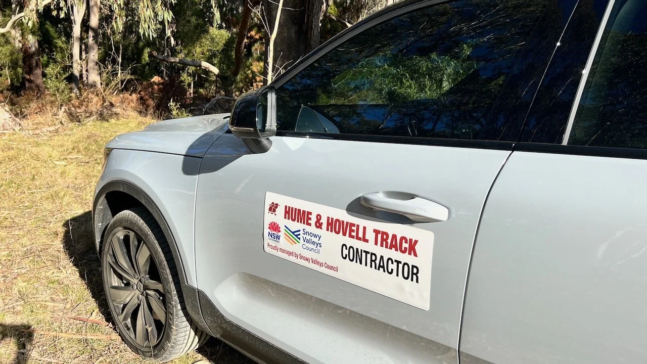
Directing and overseeing the track maintenance contractor
Auditing around 150km of singletrack and 200km of firetrail and other trail surfaces at least twice per year
Ensuring compliance with Crown Lands head contract requirements
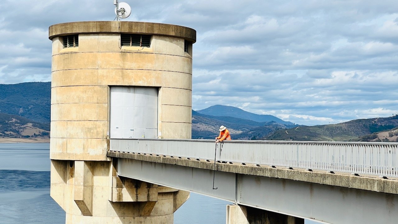
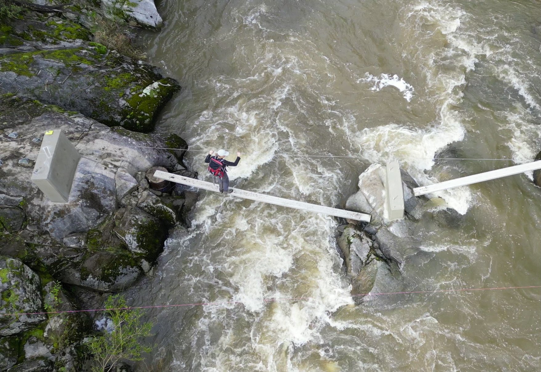
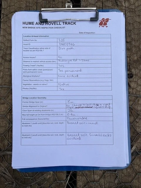
Undertaking regular Level 2 Bridge Inspections on the 4 major bridges on the track
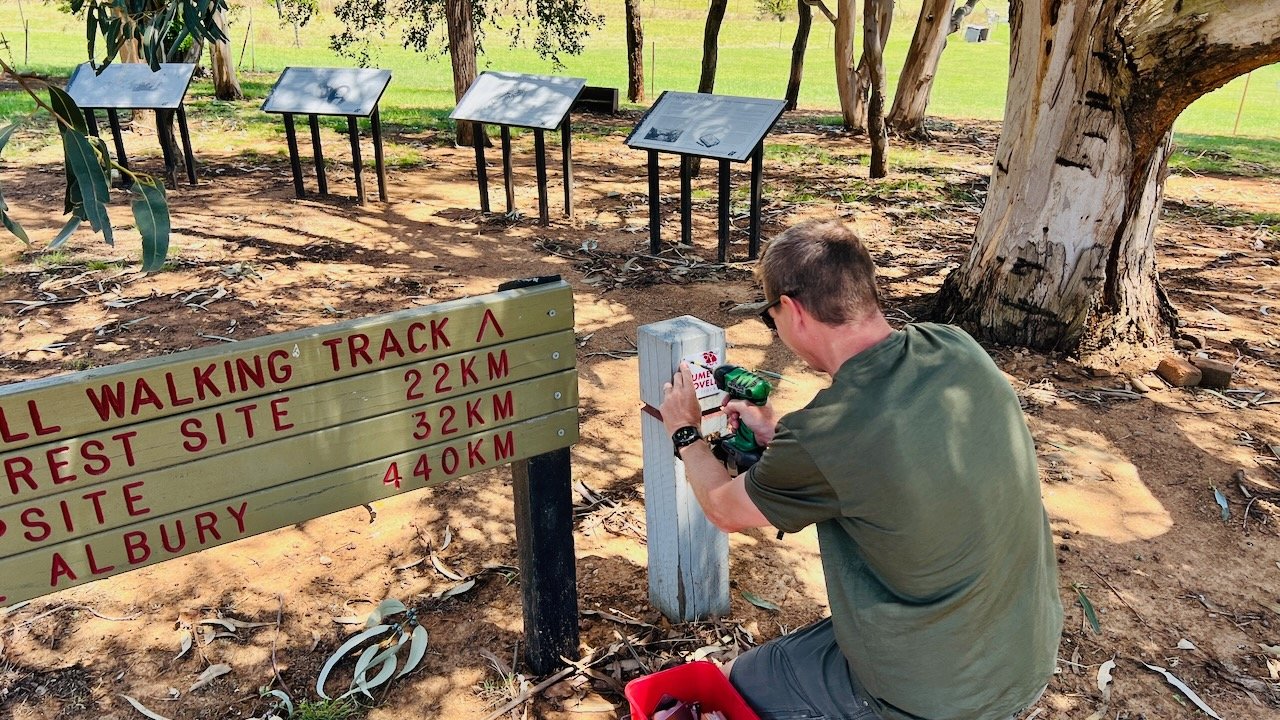
Managing detour mapping and custom signage
Maintaining the asset database and all spatial records
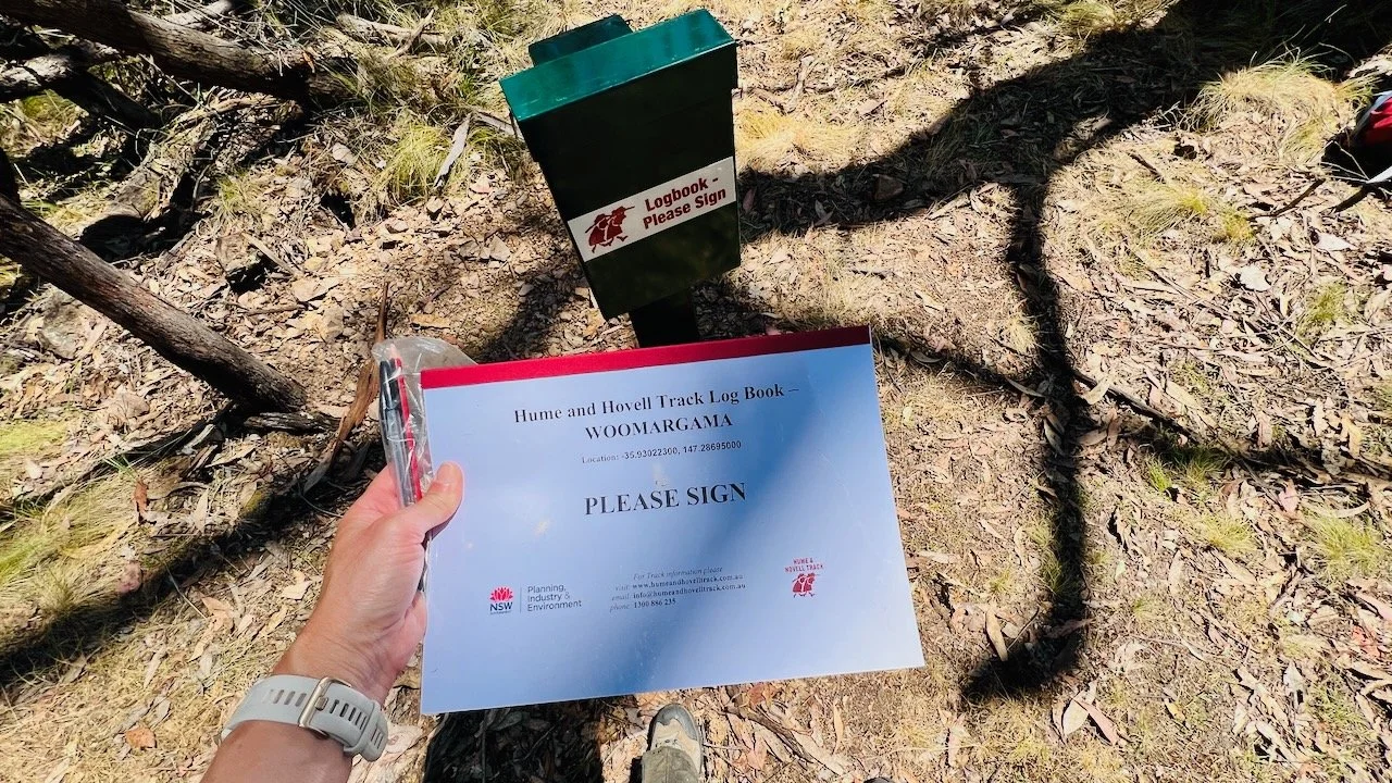
Responding to walker enquiries
Supporting marketing and communications
These tasks may seem routine, but together they form the backbone of quality assurance. They ensure that walkers stepping onto the Track today encounter a well-managed and cared-for experience.
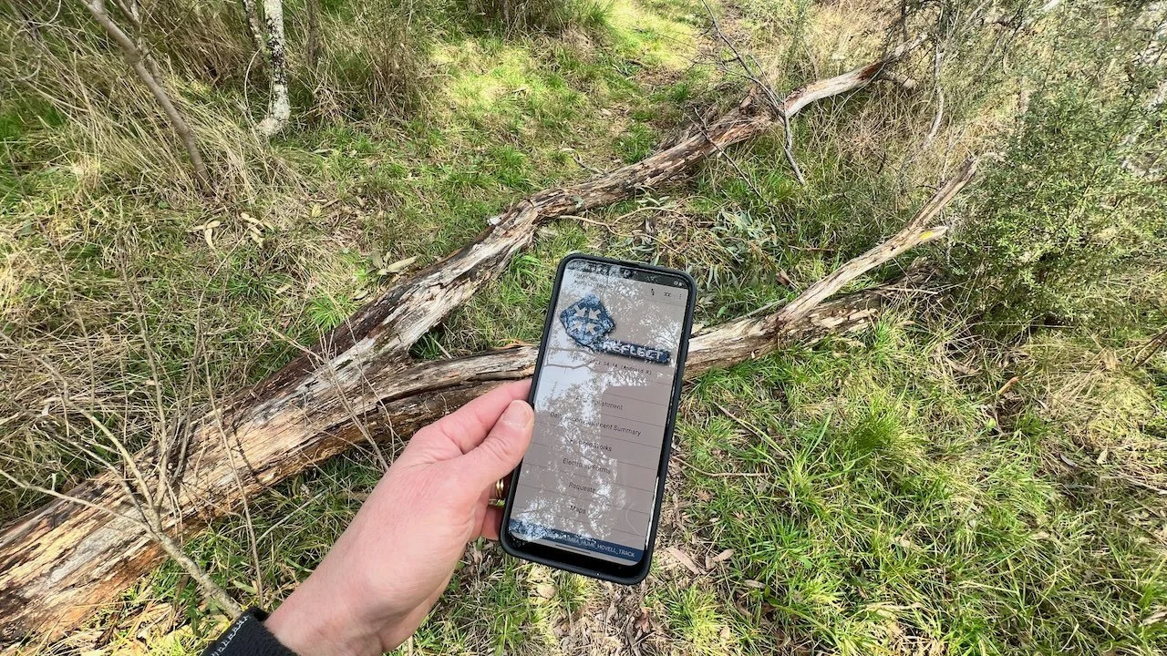
Building a Spatial Foundation
At the core of our work has been spatial data.
Every bridge, boardwalk, signpost, fence crossing and campsite exists within a live GIS environment that allows us to plan proactively. By maintaining accurate infrastructure data and detailed topographic information, we’ve been able to guide maintenance activities and inform upgrades.
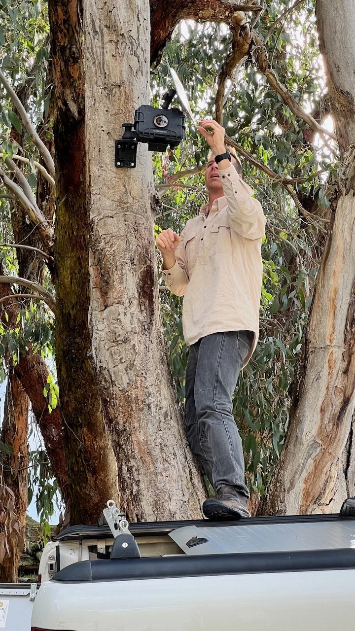
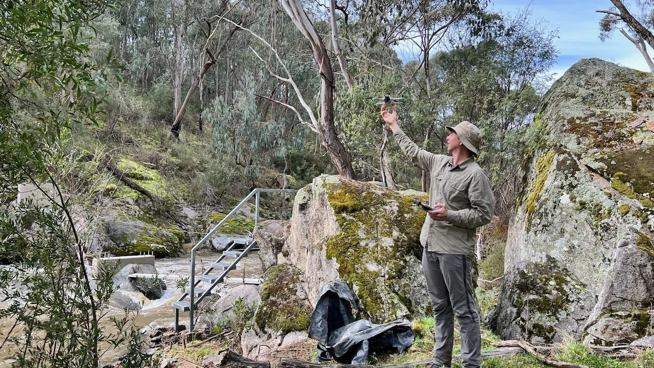
Unveiling the Track with UAVs
Advanced surveying and UAV (drone) capture have played a key role. High-resolution aerial imagery allows us to:
Support capital works design with precise terrain modelling
Inform alignment adjustments
Assess erosion and drainage issues
Capture compelling imagery for marketing and storytelling
Identify dangerous trees at campsites
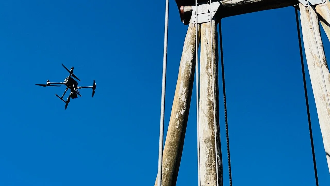
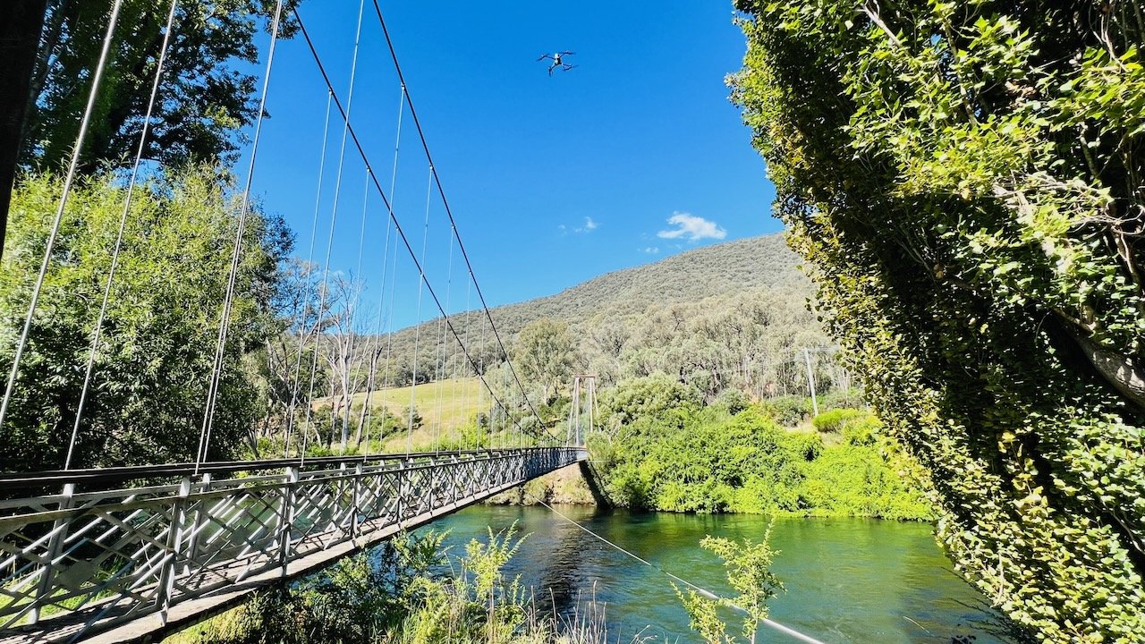
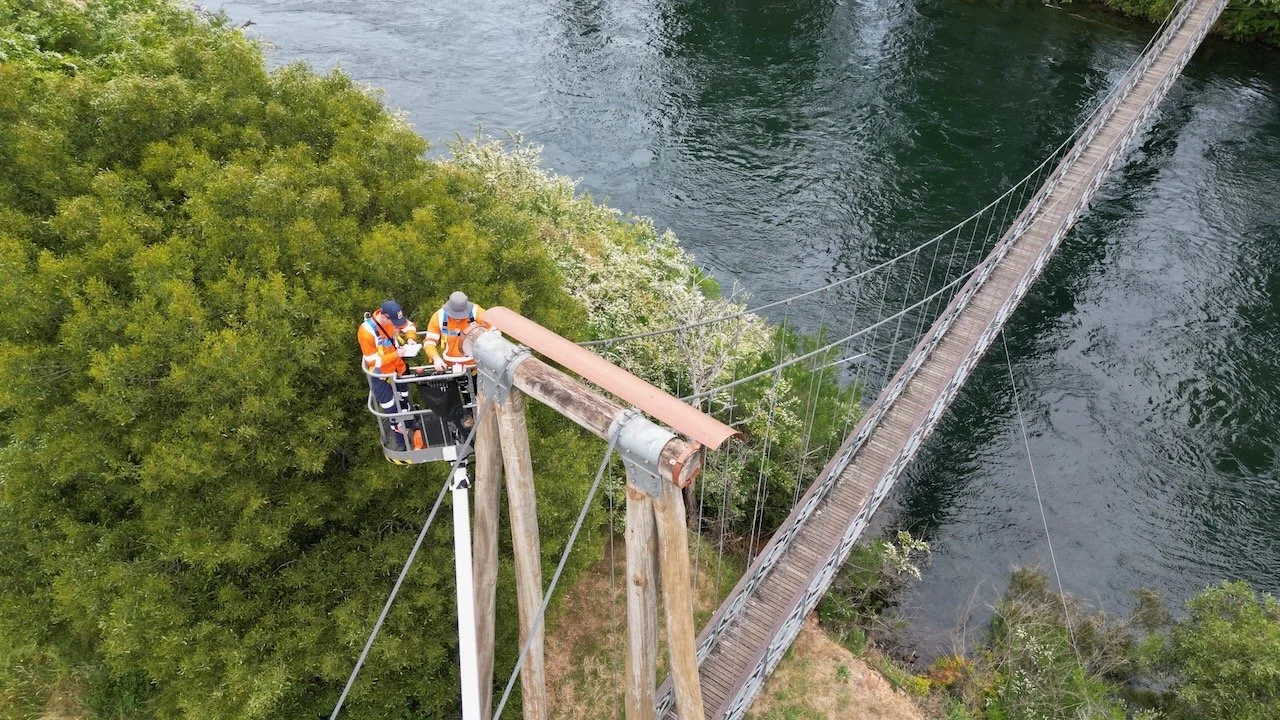
Drone survey of the Tumut River Suspension Bridge (Level 2 Bridge Inspection)
An Unexpected Collaboration
Last year, while camping at one of Victoria’s High Country huts, a chance meeting with a web developer sparked an idea that would carry the Track into a new digital era.
The result is the new Hume and Hovell Track Trip Planner — an interactive mapping tool that allows walkers to visualise terrain, distances, campsites, access points and services before setting out. The tool empowers users to tailor journeys to their capabilities and interests while improving safety and preparedness.
Looking Back - and Forward
Over the past 10 years our involvement has grown into a holistic management model that integrates:
Spatial data and GIS systems
Environmental assessment and regulatory approvals
Capital works project management
Contractor superintendency
Marketing and communications support
Ongoing audit and compliance reporting
When we reflect on the past decade, what stands out is steady progress. The upgrades are visible and the logbooks contain multiple praises for a great, well-maintained, Track. At 12P Consulting, we are proud to have played a role in that story — and we look forward to continuing the journey.