Murray River Bathymetric Survey
Case Study: Bathymetric Survey for Low Dissolved Oxygen Modelling – Murray River, Hume Dam
Client: Murray–Darling Basin Authority (MDBA)
Location: Murray River downstream of Hume Dam, Albury NSW
When: March/April 2025
Partners: Vantage Environmental, Surfbee
Overview
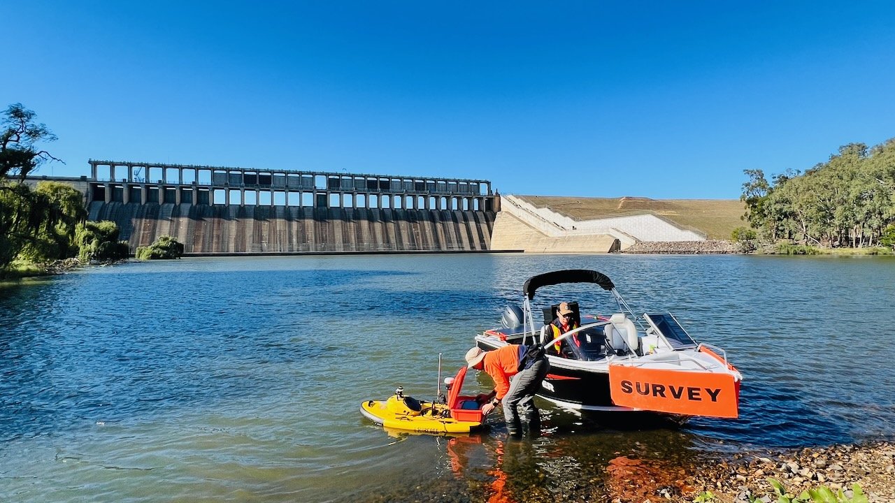
In March 2025, 12P Consulting was commissioned by the MDBA to complete a detailed bathymetric survey of a 1.3 km section of the Murray River immediately downstream of Hume Dam. The data were needed to support dissolved oxygen (DO) modelling by Hydronumerics, assessing how low-DO water released from the dam mixes in the river channel.
Survey Objective
The key objective was to generate accurate riverbed elevation data to inform hydrodynamic modelling of mixing zones in the downstream river reach.
Methodology
12P Consulting collaborated with Vantage Environmental to deliver the survey using a remote-controlled Surfbee bathymetric vessel. The approach combined autonomous hydrographic data capture with traditional ground-truthing techniques:
Raw data collection trace over 7 individual zones
A DJI Matrice 300 UAV was used for aerial reconnaissance and LIDAR scanning to identify channel features and water extent. Bathymetric data were collected via a 200 kHz single-beam echo sounder and RTK GNSS on the Surfbee platform, following a 10 m spaced navigation grid. A manned support vessel performed real-time monitoring and manual validation using a survey staff and GNSS rover. Approximately 110,000 depth soundings were recorded at 5 Hz over a 35-hectare channel area.
Processing and Outputs
Data integration and analysis were completed by civil engineer Tim Shilling from 12P Consulting. Deliverables included:
A rasterised Digital Elevation Model (DEM) of the riverbed.
Contour maps and RL datasets.
Decimated point tables formatted for import into Hydronumerics' modelling platform.
Outcome
The survey successfully mapped the riverbed through bifurcated channels and constrained zones, providing the MDBA and Hydronumerics with a point grid of XYZ values for assessing downstream mixing dynamics critical to environmental water management.
More Information